+ JMJ +
1. Definition of Geography:
Geography is the study of the Earth's surface, atmosphere, and people.
The equator is an invisible line or circle running around the widest part of the Earth, halfway between the North Pole and the South Pole. It divides the Earth into two parts, north and south.
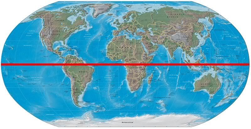
3. Latitude
~ an imaginary line or circle around the Earth parallel to the equator.
Lines of Latitude
The latitude of any place on the globe is its distance north or south of the equator, measured in degrees, from 0º at the equator to 90ºN at the north pole and 90ºS at the south pole. Places near the equator are in "low latitudes", near the poles are "high latitudes". The latitude of New York is just over 41ºN, which puts it in the "mid latitudes."
4. Longitude
In geography, longitude refers to the imaginary lines on the globe from the North and South Poles (the ones that run vertically, as opposed to the lines of latitude that run horizontally, parallel to the equator). These vertical lines are called meridians of longitude.
Definition of Meridian:
~ an imaginary great circle on the surface of the earth passing through the north and south poles at right angles to the equator.
The distance east or west of any place on the globe, measured from the meridian through Greenwich in England, is called the longitude of that place. Like latitude, longitude is measured in degrees. The longitude of New York is 74ºW.
If you state your exact longitude, you are describing how far east or west you are of the Prime Meridian, the imaginary line of longitude which runs through Greenwich, England. When you add your latitude, anyone with a map can pinpoint exactly where you are in the world. If you're standing at a latitude of 40°41.3'N and a longitude of 74°02.7'W, for example, you are at the Statue of Liberty.
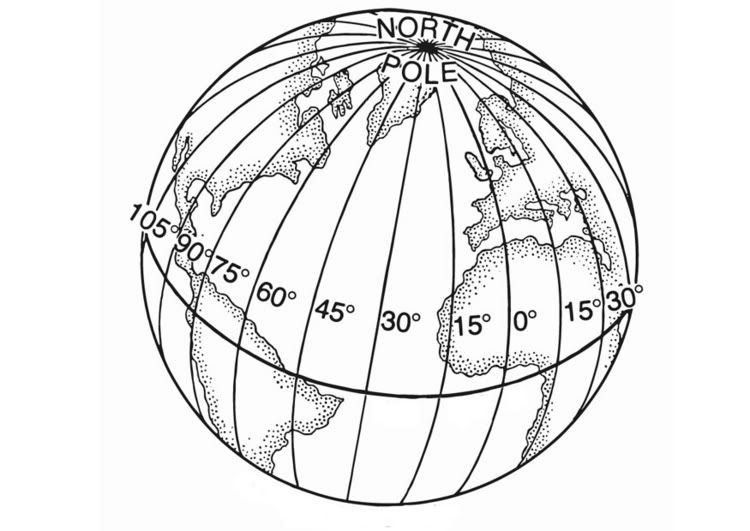
Lines of Longitude


Longitude Design
5. Prime Meridian
The prime meridian is the planet’s line of zero degrees longitude. Slicing the earth along the circle of the prime meridian would divide it into the Eastern and Western hemispheres — but it’s probably better to leave it in tact.

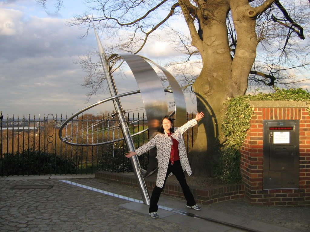
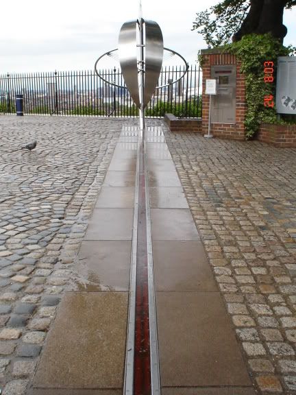
The Prime Meridian Line at the Royal Observatory in Greenwich, England.

The Prime Meridian -- put one foot on each side of the line, and you're standing on both the Eastern and Western Hemispheres of the world!
 She's in two places at once!
The meridian passing through Greenwich was internationally adopted as the earth's zero of longitude in 1884.

Prime Meridian Sign

Laser projected from the Royal Observatory in Greenwich marking the Prime Meridian.

The Prime Meridian at night, lit up with a laser beam.
6. International Date Line
On the other side of the globe, opposite the Prime Meridian, is the imaginary line called the 180th meridian, which is at 180° longitude. It is both 180ºE and 180ºW. The 180º meridian is called the International Date Line because that is where each new day starts.
The Prime Meridian and its opposite, the 180th meridian, form a great circle that divides the Earth into the Eastern and Western Hemispheres.
The Prime Meridian and its opposite, the 180th meridian, form a great circle that divides the Earth into the Eastern and Western Hemispheres.
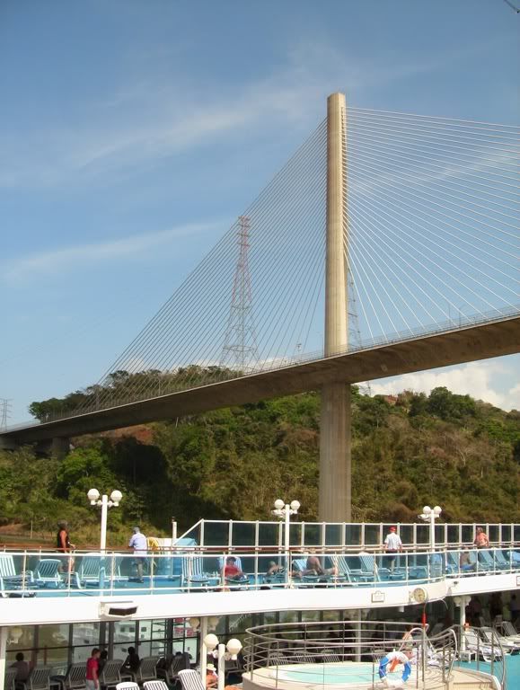
Panama Canal International Date Line (the line between today and tomorrow)
Sources:
- Vocabulary.com
- http://boatsafe.com/kids/mercator.htm
- Wikipedia.com

No comments:
Post a Comment